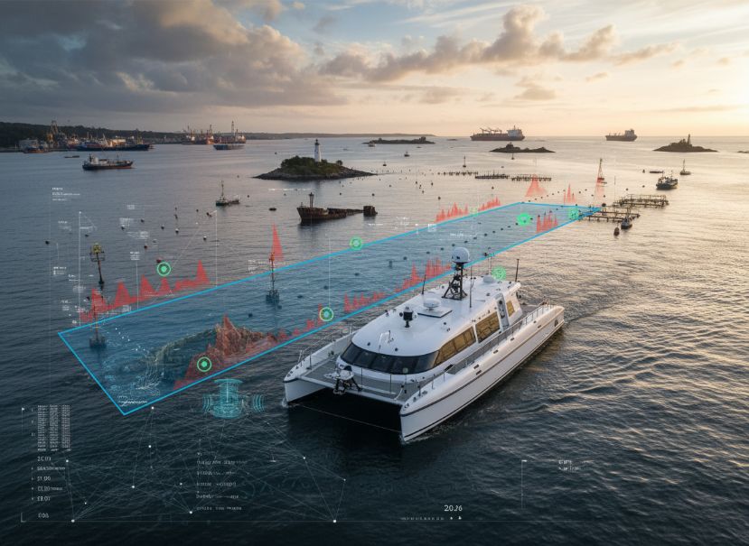
Vessel Performance & Navigation
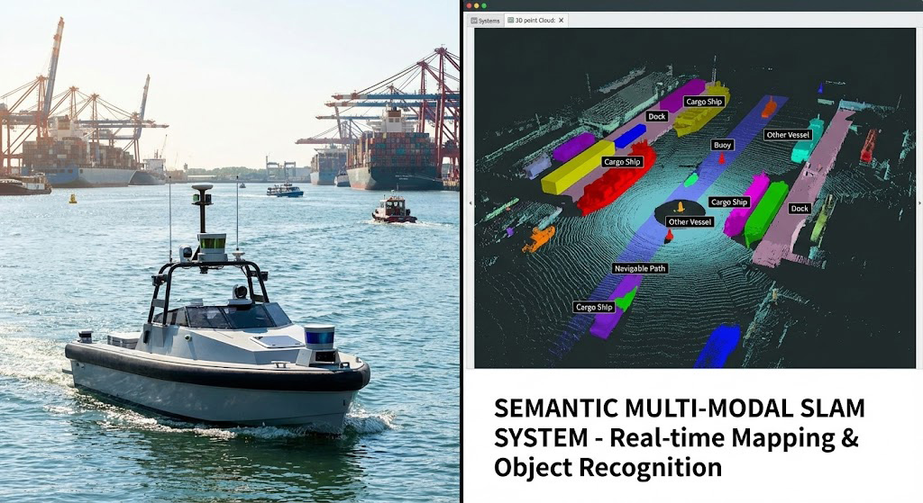
Maritime Use Cases
The SLAM (Simultaneous Localization and Mapping)
The SLAM (Simultaneous Localization and Mapping) technology could be adapted to create advanced navigation and mapping systems for autonomous maritime vehicles, enabling them to accurately determine their position and build detailed representations of their surroundings.
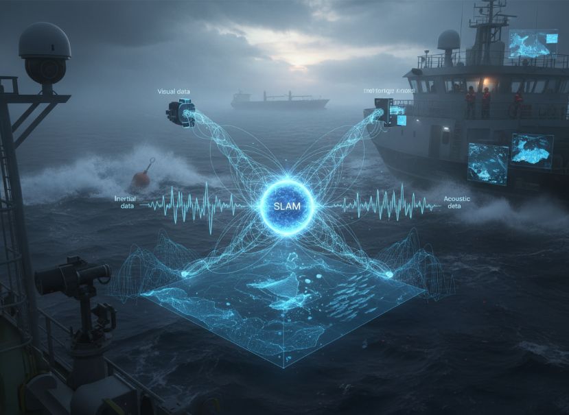
The multi-modal sensor fusion
The multi-modal sensor fusion (e.g., combining visual, inertial, and acoustic data) could enhance the robustness and reliability of the SLAM system, particularly in challenging maritime environments with limited GPS coverage or dynamic obstacles.
The semantic understanding
The semantic understanding of the maritime environment, enabled by the SLAM system, could support higher-level decision-making and task planning for autonomous maritime vehicles, such as identifying navigable waterways, potential hazards, or points of interest.
related products
-

Deftly detecting anomalies from sensor based multivariate time series
$0.00 Add to Cart -

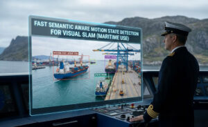
Fast Semantic Aware Motion State Detection for Visual SLAM in Dynamic Environment
$0.00 Add to Cart -

Leveraging Artificial Intelligence for Proactive Maintenance
$0.00 Add to Cart -

Subsea Vigilance with Underwater Sensing
$0.00 Add to Cart